Add Aerial Imagery to Your Mapping App!
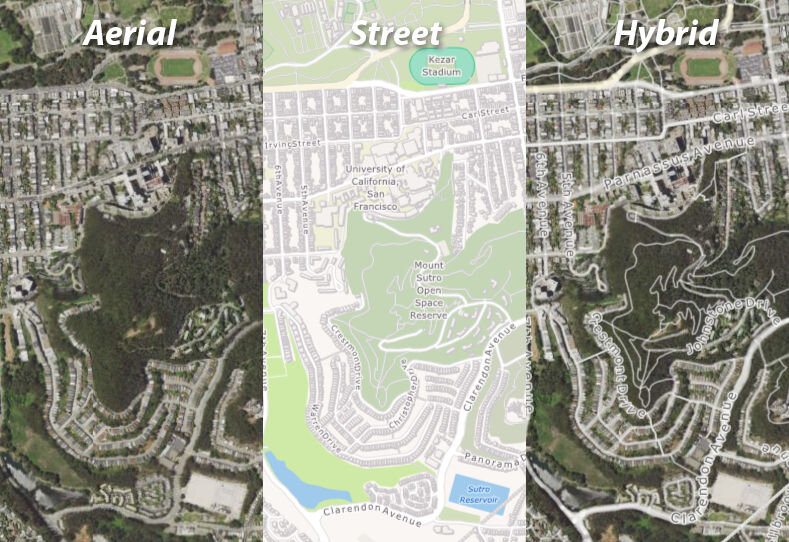
Looking for affordable and less restrictive alternatives to mapping providers like Bing or Google Maps? Or perhaps you are building an offline application which requires offline street and aerial maps? Map Suite GIS Services includes street maps for the entire world, aerial imagery for the US and much more.
Map Suite GIS Services “Cloud Hosted” is an online solution that you can easily add to your application with a few lines of code. If you are looking for offline alternatives ThinkGeo offers imagery tiles available through a requester pays S3 Bucket that allows for caching and easy data management.
Use the Map Suite developer tools to build your next GIS application.