Use the Map Suite GIS Editor to View, Edit and Create Mapping/GIS Data
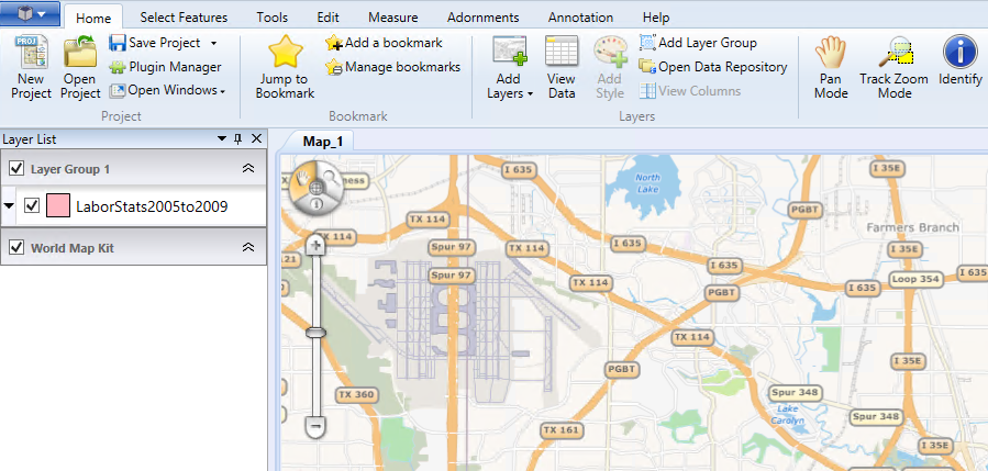
The Map Suite GIS Editor lets you design stunning maps, perform geo-analysis and visualize your data. Powerful enough for professional GIS technicians yet accessible enough for nearly anyone who needs to create a map, the GIS Editor is designed as a single-application solution to all of your GIS visualization needs.
You Can Use the Map Suite GIS Editor to:
• Visualize data, statistics and trends geographically
• Design, style and label rich and detailed maps
• Integrate data from a variety of sources, including Web Map Services
• See the data attributes contained within your data
• Draw right on the map, edit and create feature data
• Analyze and geoprocess your data
• Re-project your map data
• Create custom scripts in Ruby, Python, and C#
• Make your maps publication-ready with titles, legends and annotations
The GIS Editor is a free open source GIS tool. A number of helpful resources have been setup under the GIS Editor Wiki, featuring how-to videos, sample projects and articles describing how to use the Editor.