ThinkGeo Cloud Mapping Services
Cloud-based GIS services that use simple web requests to deliver great looking maps, routing, geocoding, elevation, projection and much more.
Nothing to Maintain
We maintain the servers, load balancers, software updates and so on, so that you can focus on delivering high-quality GIS solutions.
Simple Transaction Model
Get up to 100,000 transactions per day (3 million per month) that can be used interchangeably for all ThinkGeo Cloud services.
Free 30 Day Evaluation
The best way to find out if ThinkGeo is right for your project is to take it out for a test drive. Enjoy full access to all ThinkGeo products and services for 30 days.
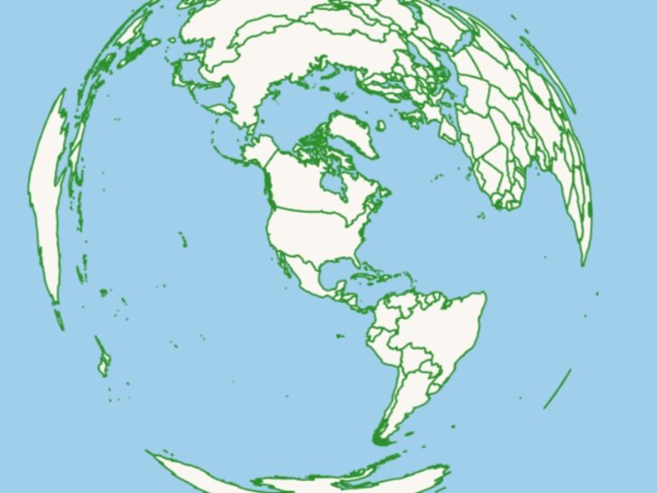
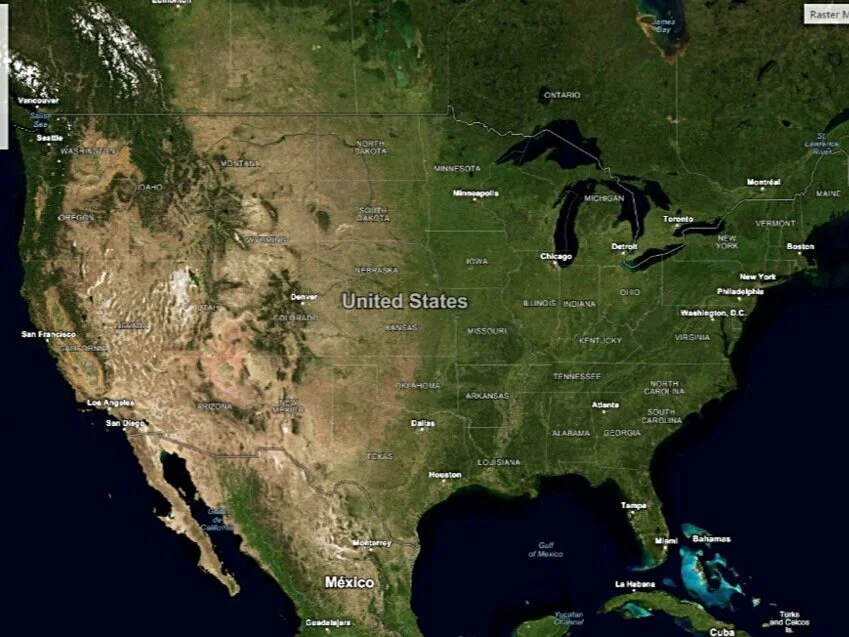
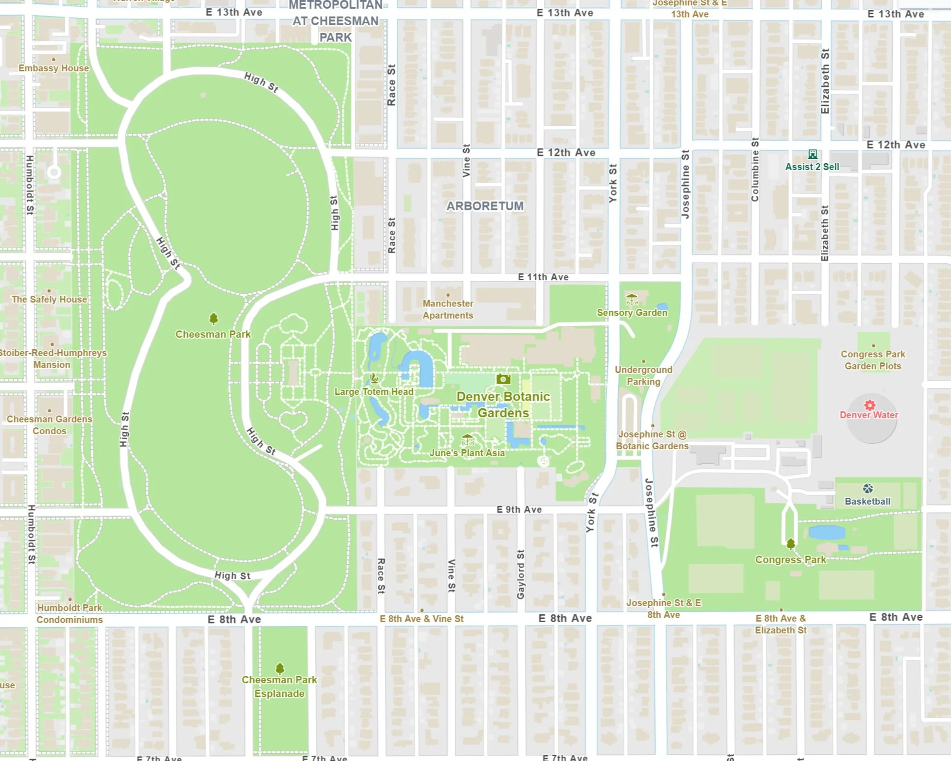
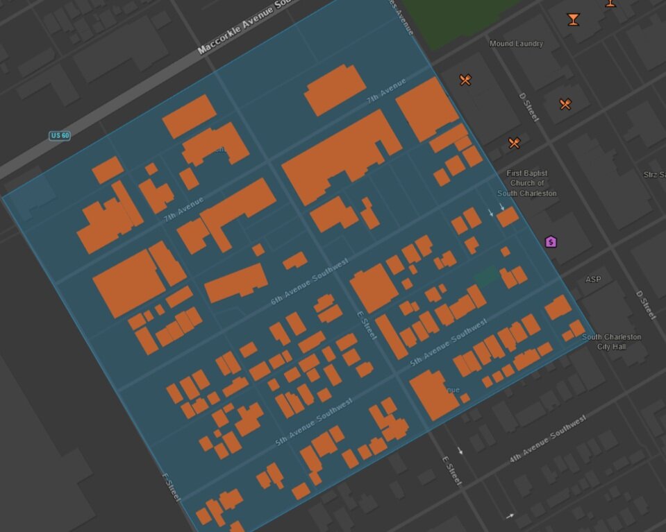
Street Maps & Aerial Imagery
Vector Map Tiles
ThinkGeo's Cloud Maps Vector Tile Service offers highly-detailed map data covering the entire world, delivered in a lightweight vector-based format that's built for speed.

Hybrid Map Tiles
ThinkGeo’s Cloud Maps Hybrid Tile Service combines satellite imagery and street vector data to make these hybrid maps.

Raster Map Tiles
ThinkGeo's Cloud Maps Raster Tile Service offers high-performance XYZ raster tile images for all of your mapping needs.
Easy-To-Use Client Libraries
.NET via NuGEt
The official ThinkGeo.Cloud.Client package for .NET developers is distributed through NuGet and makes it easy to access the ThinkGeo Cloud. Simply pass in your client credentials and you're good to go.
JavaScript via NPM or CDN
Whether you want to use NPM or simply reference a script from our CloudFront-distributed CDN, it's easy to get up and running with our JavaScript client for ThinkGeo Cloud. Just initialize the client with your client credentials and you're off and running.
RESTful Endpoints
Use any REST or Web client in your language of choice to make simple requests to the ThinkGeo Cloud Service endpoints of your choice. There's help getting started on our wiki, or you can even experiment with what every endpoint has to offer with our ThinkGeo Cloud API explorer.
Routing Services Suite

Turn-By-Turn Directions
Our detailed turn-by-turn route directions offer clear guidance for vehicles in the field, including road names and toll road indicators.

Traveling Salesmen
Plot the shortest route through a series of waypoints, optionally returning to the origin.
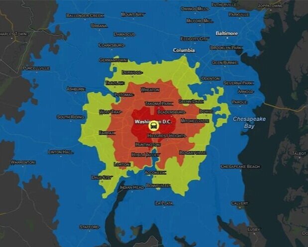
Service Areas
Get the polygons representing your service areas based on drive time or distance so you can display them on interactive maps, make spatial queries or perform other analysis.
High Quality Global Data
Over a Billion Features
We source our data from multiple open-source projects including OpenStreetMap, creating a one-stop shop for all your global data needs.
Multi-Language
Using the language request parameter, you can get results back in your preferred language, with several options available.
Continually Updated
Our cloud-based databases are kept up-to-date on a continuous schedule, using the latest data from multiple sources.

Geocoding
Turns addresses, landmarks and POIs into geographic coordinates in just a few lines of code.
High performance
Batch Geocoding
Rich Location Metadata

Reverse Geocoding
Find addresses, intersections, and nearby points of interest within a radius of a GPS point.
Nearby Points of Interest
Addresses, Places, Intersections
Distance and Direction
Extensive Documentation
In addition to API documentation, we have an extensive wiki that is chock full of information. You can find getting started samples and guides, as well as links to videos and more.
Interactive Code Samples
Our code samples are online and are setup so that you can modify the code in real-time, allowing you to get a good understanding of how they work.
Staffed Issue Tracker
When you need help beyond the static documentation we have a staffed issue tracker ready to respond. Start with searching for your question, and if you can’t find it, one of our developers will be happy to help you.

Elevation
Use ThinkGeo Elevation to get elevation points, contour and viewshed anywhere around the world.
Coordinates, Paths and Areas
Automatic Area Grid Interpolation
Batch Query Support
World Maps Query
Find the spatial relationship between your custom shapes and world map features like places, buildings, cities and more.
Query Intersection, Contains, Within & Many More
Get Attribute List by Layer
Find Nearest Features