Draw and Edit Shapes within Your Application
Do you have existing data that needs editing? Or perhaps you want to create new mapping data? Map Suite is a powerful tool that allows developers and end users to create new or edit existing shapes and features. There are several scenarios in which you may have to create new or edit existing data.
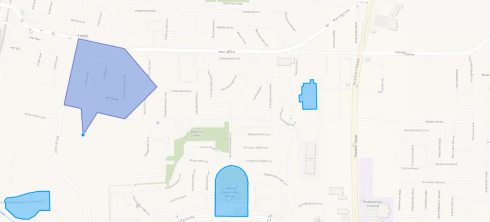
Let’s say a road has been extended, a farmer acquired an adjacent field, a building has been expanded, a school district has changed its boundaries, etc.; you can use the APIs and tools in order to make the necessary changes to the data. Editing data with Map Suite allows you to easily move the vertexes and see the changes before saving them. In addition you can resize by dragging or even rotate the shapes. As a developer you have a lot of flexibly within Map Suite.
On the other hand, what if you don’t have data and you need to create new data? It can be as simple as drawing on the map or just tracing from aerial imagery to create new features such as points, polygons and lines. Another great benefit of drawing is that is also allows you to create new features to perform more advanced GIS tasks such as spatial querying.
Try the interactive demo which uses Map Suite WebAPI Edition and OpenLayers to get a good understanding of what can be done. Drawing and editing features are a core functionality of Map Suite, therefore available across the entire Map Suite family of products.