Using Topology Rules for Data Integrity
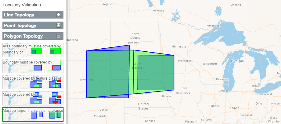
Topology refers to the relationship between lines, points, and polygons. Topology can be very useful in GIS as it allows users to clean up data or to modify geometries to comply with different rules and restrictions. Topology helps us to better analyze data and answer a number of questions such as:
Which parcels of land are adjacent to each other?
Which roads are connected to which?
Is this house within the property line?
Topology also helps us validate data to prevent any gapping issues, etc. that may occur during data editing. For more information about the concept of topology please visit this Wikipedia article.
Topology validation is a critical function of a GIS application and Map Suite has great implementation of this feature. To see a demo and try out some of the various topology rules go here.