ThinkGeo Cloud Geocoder goes “Global”
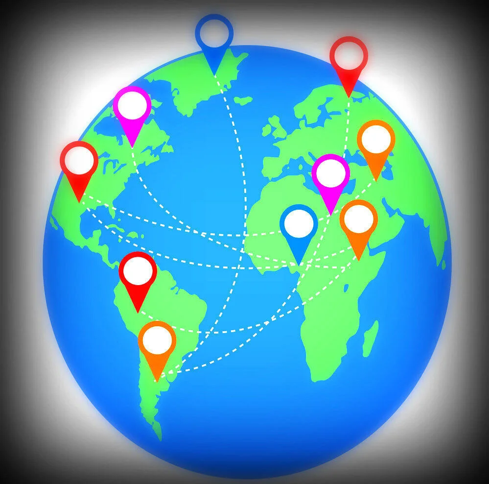
The range of application for a high performing Geocoding utility is within the developer’s control. From simple data analysis/visualization and customer management to distribution techniques that give you the edge over your competition. When addresses are geocoded the immediate benefit for users, whether novice or professional is that the data can be visualized and then analyzed which can lead to greater depths of data immersion and deduction. ThinkGeo Cloud Geocoding allows users to convert addresses into geographic coordinates (latitude/longitude) in both single form or in batch form and our new Geocoder can do that with worldwide coverage and street-level accuracy!
There are several advantages that ThinkGeo’s Global Geocoder possesses besides high performance and global coverage. As mentioned users can have a group of addresses passed through our API (referred to as batch geocoding) and ThinkGeo will return coordinates for them all. Our Geocoder is not restricted to address returns however. Users can enter in points of interest, famous landmarks, airports and tons of other global data and get instant results. To see how all of this works the developer-minded can visit our Geocoding page and get hands-on with the code.
Experience the global coverage and give our Cloud Geocoder a run-through right now by visiting our hub for online demos; the ThinkGeo Demo Center. If you’re ready to take the next step then get started with a free 60-day ThinkGeo Cloud evaluation and put our Global Geocoder to the test!
