Creating Sublayers in Map Suite
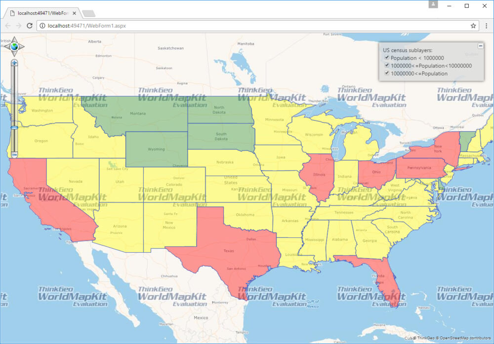
Recently the ThinkGeo support team received a request on how to “Create sublayers from actual layer”. The team went to work and developed a new sample showing you how to use FeatureSource to create sublayers. This allows you to control the amount of data displayed without having to create individual layers for each dataset. Download the sample and start customizing it with your own data and specific needs.
Developers looking to build custom GIS applications can take advantage of the many different samples to become productive quickly. Looking for custom samples or not sure how to get begin? Contact the ThinkGeo team to learn how to get started with your mapping application.