Create a Grid Layer to Analyze Your Point Data
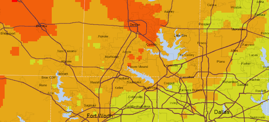
Do you have point data that you would like to make more visually appealing? If so, consider representing the data as a Grid. A Grid is a raster format that allows you to divide a geographic space into equal sized cells each representing a value with an attribute (i.e. elevation, surface slope, soil pH, etc.) for that unit of space. Each Grid cell is referenced by its x, y coordinates. Typically a Grid file is created based on some sample points with known values.
In this wiki sample, we create a Grid file based on point shapefile representing soil pH values in a field. Using the inverse Weighted Distance algorithm for interpolation, we create the Grid with the pH value for the entire extent of the field.
If you are an end-user and want to view and create your own Grid layer try out the Map Suite GIS Editor. Help on how to use the Grid functionality in the GIS Editor can be found here.